Email
contact@amatab.com
Call Us:
+216 74 225 333
+216 74 225 278
Mail Us:
contact@amatab.com
AMATAB & CO
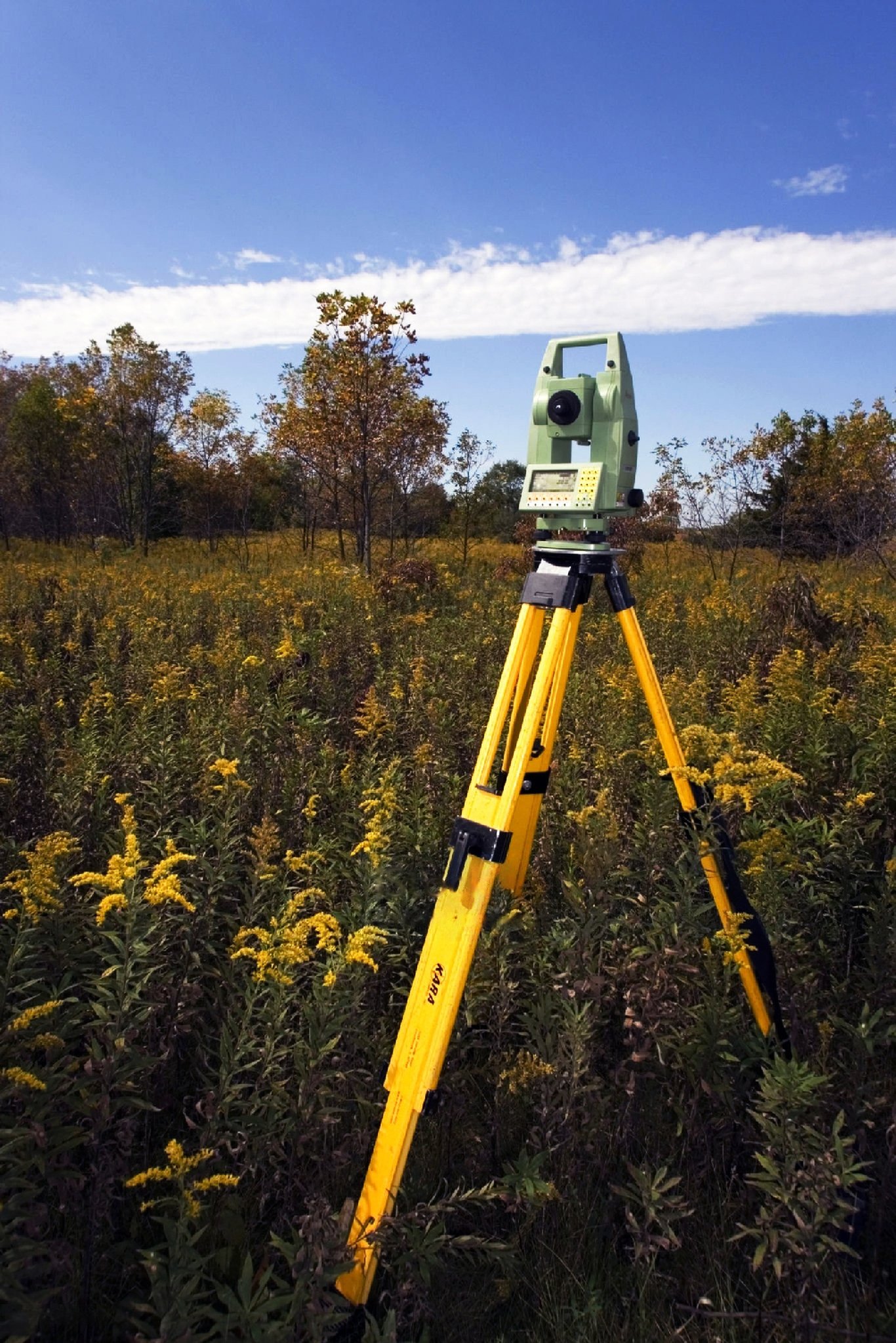
Evaluation of land properties


Need a price quote?
We are here to quickly provide you with detailed information about our rates!
Get a quote